Sea levels are likely to rise by around a metre by the end of this century. A Tasmanian mapping project is set to provide timely information for authorities and landowners around Australia’s 50,000 km of coastline. [30 June 2009 | Peter Boyer]
There’s a story from 11th century England that has a very modern ring to it. When the Viking king Cnut (or Canute) ordered the sea to stay put and then watched the tide come in regardless, he declared that kings were in fact subservient to the laws of God or nature.

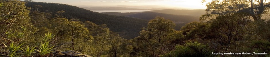
TOP: Slowly rising sea levels have combined with wave and tidal impacts to cause this recent coastal erosion at Pitt Water, near Seven Mile Beach. BOTTOM: Chris Sharples at work on his national coastal mapping project.
Ironically, Cnut lived in the middle of a period in which the seas really did stay put. Apart from the odd spring tide or storm surge or tsunami, sea levels at the start of the 20th century were much the same as they were in the time of Jesus.
But no more. With increasing frequency over the past 100 years, rising sea levels have combined with extreme events — very high tides, storm-related surges, strong winds and waves — to affect our coasts in ways that are now starting to be apparent.
It’s fitting that in Tasmania, surrounded by sea since the end of the last ice age, we have some world leaders in the science of sea levels and their impact on land, based at CSIRO and the Antarctic Climate and Ecosystems CRC (ACE-CRC, University of Tasmania).
Their studies have found sea levels currently rising at around 3 mm a year — faster than at any time for more than two thousand years. By the end of the century, with an increasing contribution from melting polar ice-sheets, sea levels are likely to be around a metre higher and possibly much more.
People who spend time near coasts, notably those who own land washed by sea, are already noticing subtle changes to the most vulnerable parts of our coasts, and governments at all levels are starting to take notice.
In 2007, the Federal government’s climate change people were sufficiently impressed by a 2006 project assessing Tasmanian coasts for their vulnerability to sea level rise that they engaged the project’s authors, Chris Sharples and Richard Mount, to do the same thing for all of Australia.
Using their own “Smartline” mapping method, their National Coastal Geomorphic and Stability Mapping Project has mapped over 50,000 km of shorelines, from mangrove coasts of the tropical north to Tasmania’s rocky south coast.
Based in the University of Tasmania’s School of Geography and Environmental Studies, the national project team has extracted information from existing maps and data sets to record different coastal landforms according to their vulnerability to rising seas.
The first major stage of the project, now nearing completion, has recorded in detail the landform types of Australia’s coast — beaches, mudflats, cliffs, rocky slopes and such like — and has classified these coastal lands according to their sensitivity to potential impacts of sea level rise, such as accelerated erosion and recession, slumping or rock fall hazards and changing dune mobility.
To turn its data into a practical tool for decisions about use (or non-use) of coastal land, the Smartline project must combine its landform mapping with data on the forces driving coastal erosion — sea level rise, waves, tides and storms — from CSIRO, ACE-CRC and others.
The final Smartline national coastal map will be a public domain data set managed by Geoscience Australia. In the hands of land management authorities, planners and land-users, it will be an invaluable tool for assessing climate change vulnerability around our coasts.
• Incorporating likely future sea-level rise into coastal risk assessments, planning procedures and the development of coastal policy will be the subject of workshops across Australia in the latter half of 2009, including one in Launceston on 11-12 August 2009. For details go to <http://www.sealevelrise.info/>.